Whitty Lane
Introduction
The photograph on this page of Whitty Lane by Trevor Littlewood as part of the Geograph project.
The Geograph project started in 2005 with the aim of publishing, organising and preserving representative images for every square kilometre of Great Britain, Ireland and the Isle of Man.

There are currently over 7.5m images from over 14,400 individuals and you can help contribute to the project by visiting https://www.geograph.org.uk
Whitty Lane
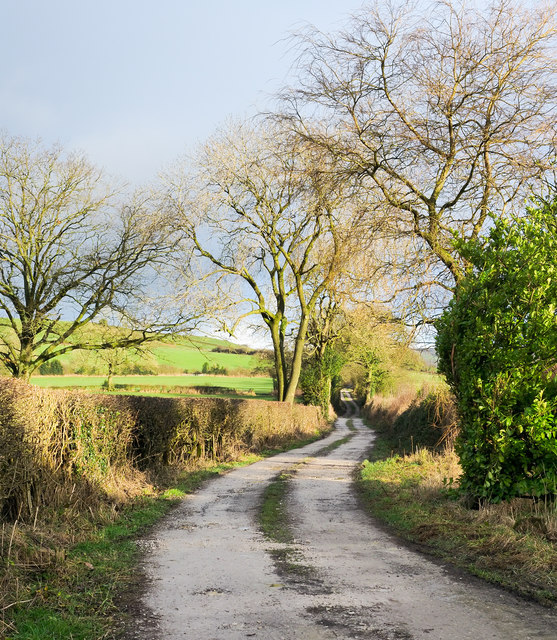
Image: © Trevor Littlewood Taken: 24 Dec 2019
Whitty Lane as it leaves a minor road beside the farm at Middle Hulme heading towards the small settlement at Upper Hulme. It's a public footpath and is the route of the Churnet Way.
Images are licensed for reuse under creativecommons.org/licenses/by-sa/2.0
Image Location
Latitude
53.141469
Longitude
-2.001604