A697 heading north, Hedgely Station
Introduction
The photograph on this page of A697 heading north, Hedgely Station by Robin Webster as part of the Geograph project.
The Geograph project started in 2005 with the aim of publishing, organising and preserving representative images for every square kilometre of Great Britain, Ireland and the Isle of Man.

There are currently over 7.5m images from over 14,400 individuals and you can help contribute to the project by visiting https://www.geograph.org.uk
A697 heading north, Hedgely Station
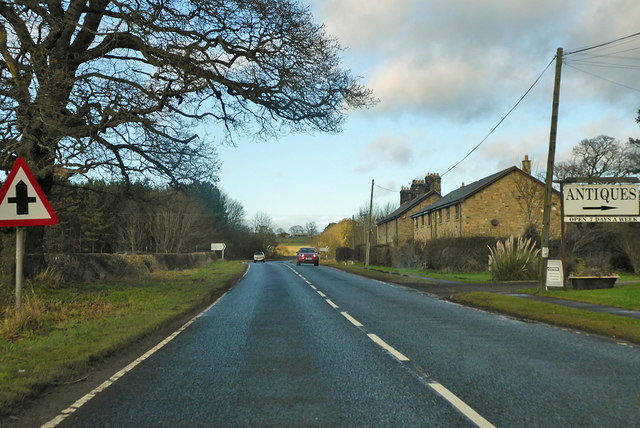
Image: © Robin Webster Taken: 23 Dec 2019
The railway station is long closed along with the railway, but there is a small settlement here and the main station building survives.
Images are licensed for reuse under creativecommons.org/licenses/by-sa/2.0
Image Location


Leaflet Map data © OpenStreetMap
Latitude
55.446116
Longitude
-1.908127