Pentre Lodge, Llanwenarth
Introduction
The photograph on this page of Pentre Lodge, Llanwenarth by Jaggery as part of the Geograph project.
The Geograph project started in 2005 with the aim of publishing, organising and preserving representative images for every square kilometre of Great Britain, Ireland and the Isle of Man.

There are currently over 7.5m images from over 14,400 individuals and you can help contribute to the project by visiting https://www.geograph.org.uk
Pentre Lodge, Llanwenarth
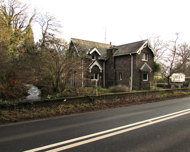
Image: © Jaggery Taken: 29 Dec 2019
Viewed across the A40. The lodge probably dates from the early 19th century. It was first recorded on the Tithe Map of 1844. A tributary of the River Usk, Nant Iago is on the left.
Images are licensed for reuse under creativecommons.org/licenses/by-sa/2.0
Image Location
Latitude
51.830865
Longitude
-3.043922