Looking west along Pelton Fell Road
Introduction
The photograph on this page of Looking west along Pelton Fell Road by Robert Graham as part of the Geograph project.
The Geograph project started in 2005 with the aim of publishing, organising and preserving representative images for every square kilometre of Great Britain, Ireland and the Isle of Man.

There are currently over 7.5m images from over 14,400 individuals and you can help contribute to the project by visiting https://www.geograph.org.uk
Looking west along Pelton Fell Road
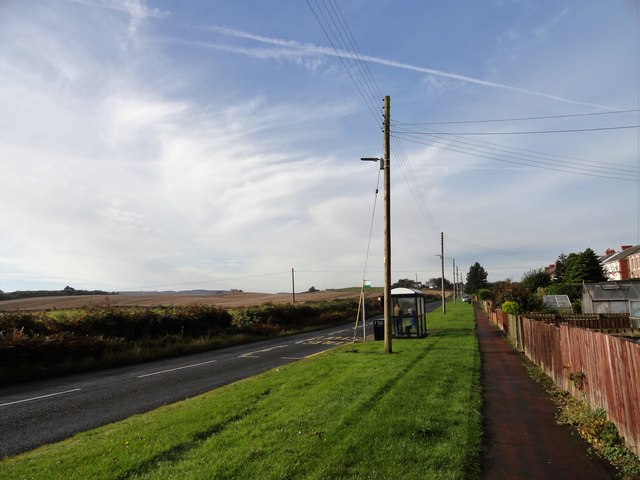
Image: © Robert Graham Taken: 14 Oct 2019
Beside the terraced houses of Grange Terrace, the western edge of Pelton Fell village. The road runs east to Craghead, near Stanley.
Images are licensed for reuse under creativecommons.org/licenses/by-sa/2.0
Image Location
Latitude
54.857432
Longitude
-1.621602