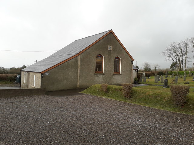
Amroth Zoar Baptist Chapel
Introduction
The photograph on this page of Amroth Zoar Baptist Chapel by Richard Law as part of the Geograph project.
The Geograph project started in 2005 with the aim of publishing, organising and preserving representative images for every square kilometre of Great Britain, Ireland and the Isle of Man.
There are currently over 7.5m images from over 14,400 individuals and you can help contribute to the project by visiting https://www.geograph.org.uk

Image: © Richard Law Taken: 24 Dec 2019
Now deconsecrated and serving as the premises and Chapel of Rest of the local undertaker, the Zoar Baptist Chapel was built in 1854, and attracted a Grade II listing https://britishlistedbuildings.co.uk/300018860-zoar-baptist-chapel-amroth#.XgispEf7TIU in 1997. The listing makes note of it being "a simple country chapel; an austere design almost uninfluenced by the architectural ideas of more affluent congregations, and retaining its original layout". There is a substantial burial ground to the north side, partially visible here.

