Hedges alongside Waltonhurst Lane
Introduction
The photograph on this page of Hedges alongside Waltonhurst Lane by Trevor Littlewood as part of the Geograph project.
The Geograph project started in 2005 with the aim of publishing, organising and preserving representative images for every square kilometre of Great Britain, Ireland and the Isle of Man.

There are currently over 7.5m images from over 14,400 individuals and you can help contribute to the project by visiting https://www.geograph.org.uk
Hedges alongside Waltonhurst Lane
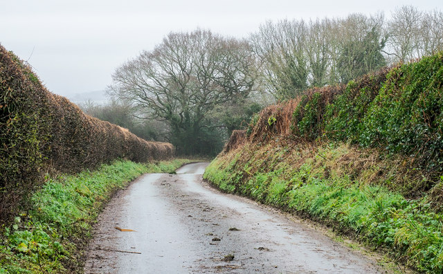
Image: © Trevor Littlewood Taken: 27 Dec 2019
The narrow lane descending between 'well-groomed' hedges from a high point close to a trig point also known as Waltonhurst.
Images are licensed for reuse under creativecommons.org/licenses/by-sa/2.0
Image Location
Latitude
52.845515
Longitude
-2.222967