Park Lane, Thrybergh
Introduction
The photograph on this page of Park Lane, Thrybergh by Alan Murray-Rust as part of the Geograph project.
The Geograph project started in 2005 with the aim of publishing, organising and preserving representative images for every square kilometre of Great Britain, Ireland and the Isle of Man.

There are currently over 7.5m images from over 14,400 individuals and you can help contribute to the project by visiting https://www.geograph.org.uk
Park Lane, Thrybergh
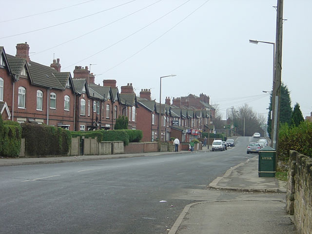
Image: © Alan Murray-Rust Taken: 16 Dec 2007
This is the main road through the older part of the industrial era development of Thrybergh. The main Doncaster Road between Rotherham and Conisbrough skirts it to the west so that this thoroughfare remains remarkably peaceful.
Images are licensed for reuse under creativecommons.org/licenses/by-sa/2.0
Image Location
Latitude
53.447733
Longitude
-1.299975