View of Wingham
Introduction
The photograph on this page of View of Wingham by John Baker as part of the Geograph project.
The Geograph project started in 2005 with the aim of publishing, organising and preserving representative images for every square kilometre of Great Britain, Ireland and the Isle of Man.

There are currently over 7.5m images from over 14,400 individuals and you can help contribute to the project by visiting https://www.geograph.org.uk
View of Wingham
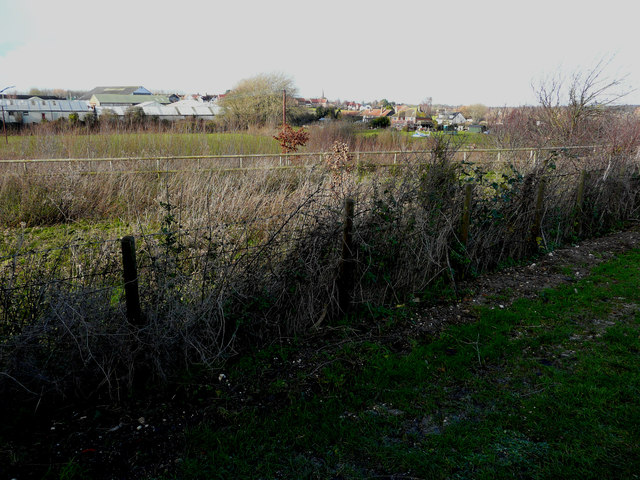
Image: © John Baker Taken: 15 Dec 2019
Taken from a byway running between Popsal Lane and Staple Road, it shows houses along Staple Road, the spire of St Mary’s church and industrial buildings along Goodnestone Road.
Images are licensed for reuse under creativecommons.org/licenses/by-sa/2.0
Image Location
Latitude
51.267666
Longitude
1.222565