Colomendy, Cilwendeg - side elevation
Introduction
The photograph on this page of Colomendy, Cilwendeg - side elevation by Natasha Ceridwen de Chroustchoff as part of the Geograph project.
The Geograph project started in 2005 with the aim of publishing, organising and preserving representative images for every square kilometre of Great Britain, Ireland and the Isle of Man.

There are currently over 7.5m images from over 14,400 individuals and you can help contribute to the project by visiting https://www.geograph.org.uk
Colomendy, Cilwendeg - side elevation
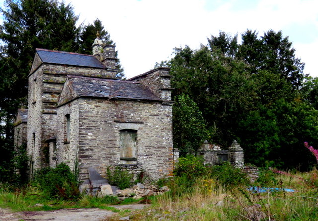
Image: © Natasha Ceridwen de Chroustchoff Taken: 2 Sep 2019
Derelict pigeon house c.1835
Images are licensed for reuse under creativecommons.org/licenses/by-sa/2.0
Image Location
Latitude
52.019152
Longitude
-4.592292