Nos. 433 and 431 Braunstone Lane
Introduction
The photograph on this page of Nos. 433 and 431 Braunstone Lane by phil Richards as part of the Geograph project.
The Geograph project started in 2005 with the aim of publishing, organising and preserving representative images for every square kilometre of Great Britain, Ireland and the Isle of Man.

There are currently over 7.5m images from over 14,400 individuals and you can help contribute to the project by visiting https://www.geograph.org.uk
Nos. 433 and 431 Braunstone Lane
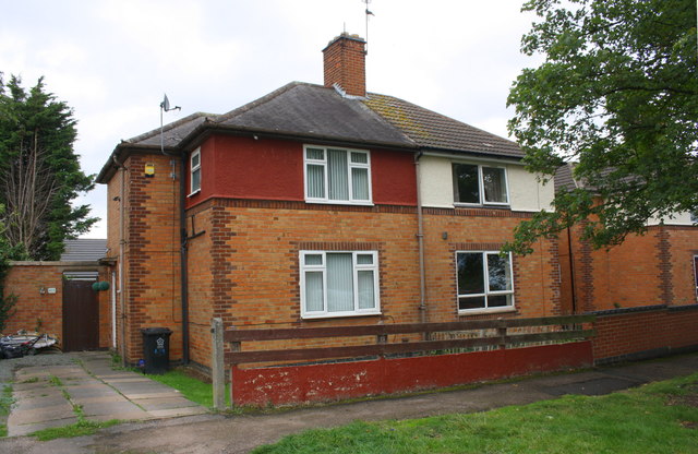
Image: © phil Richards Taken: 11 Sep 2018
There is an OS benchmark Image on the front of the jut on the side of the left hand house, by the wheelie bin
Images are licensed for reuse under creativecommons.org/licenses/by-sa/2.0
Image Location
Latitude
52.624163
Longitude
-1.191603