Ordnance Survey Flush Bracket 11246
Introduction
The photograph on this page of Ordnance Survey Flush Bracket 11246 by Peter Wood as part of the Geograph project.
The Geograph project started in 2005 with the aim of publishing, organising and preserving representative images for every square kilometre of Great Britain, Ireland and the Isle of Man.

There are currently over 7.5m images from over 14,400 individuals and you can help contribute to the project by visiting https://www.geograph.org.uk
Ordnance Survey Flush Bracket 11246
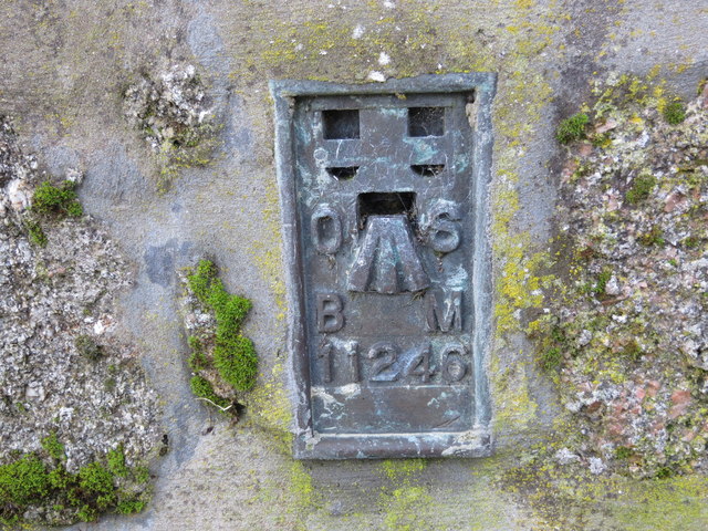
Image: © Peter Wood Taken: 21 Nov 2019
This can be found on the roadside wall of a house in High Street, New Pitsligo. The benchmark's recorded height is 139.506 metres above sea level. For more detail see : https://www.bench-marks.org.uk/bm303
Images are licensed for reuse under creativecommons.org/licenses/by-sa/2.0
Image Location
Latitude
57.597262
Longitude
-2.200645