Green Lane
Introduction
The photograph on this page of Green Lane by Derek Harper as part of the Geograph project.
The Geograph project started in 2005 with the aim of publishing, organising and preserving representative images for every square kilometre of Great Britain, Ireland and the Isle of Man.

There are currently over 7.5m images from over 14,400 individuals and you can help contribute to the project by visiting https://www.geograph.org.uk
Green Lane
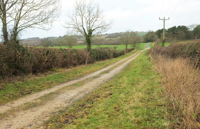
Image: © Derek Harper Taken: 23 Dec 2019
The track, heading in the direction of Burton Leonard, is used by bridleway 15 26 1/1. Ahead on the right is Dark Walk Wood. Image] was taken from the other side of the track.
Images are licensed for reuse under creativecommons.org/licenses/by-sa/2.0
Image Location
Latitude
54.056983
Longitude
-1.483326