Wooplaw farm
Introduction
The photograph on this page of Wooplaw farm by Jim Barton as part of the Geograph project.
The Geograph project started in 2005 with the aim of publishing, organising and preserving representative images for every square kilometre of Great Britain, Ireland and the Isle of Man.

There are currently over 7.5m images from over 14,400 individuals and you can help contribute to the project by visiting https://www.geograph.org.uk
Wooplaw farm
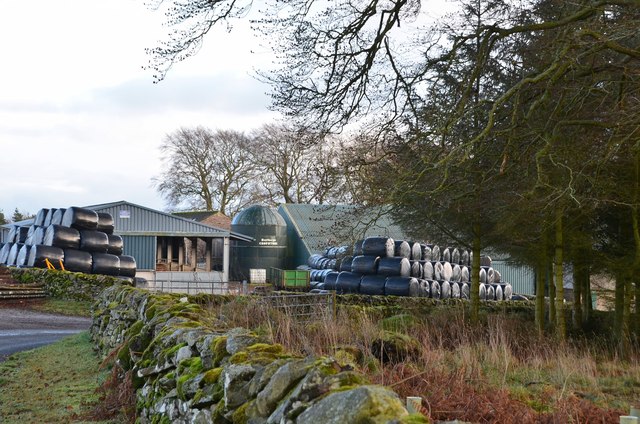
Image: © Jim Barton Taken: 22 Dec 2019
The name comes from the Norse 'uplaw' meaning a shallow valley at the top of a hill (from the information board at the Community Woodland). It is certainly on top of a hill as the land here is around 310m.
Images are licensed for reuse under creativecommons.org/licenses/by-sa/2.0
Image Location


Leaflet Map data © OpenStreetMap
Latitude
55.669752
Longitude
-2.806178