A77, Kirkoswald
Introduction
The photograph on this page of A77, Kirkoswald by David Dixon as part of the Geograph project.
The Geograph project started in 2005 with the aim of publishing, organising and preserving representative images for every square kilometre of Great Britain, Ireland and the Isle of Man.

There are currently over 7.5m images from over 14,400 individuals and you can help contribute to the project by visiting https://www.geograph.org.uk
A77, Kirkoswald
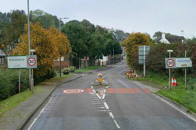
Image: © David Dixon Taken: 25 Sep 2019
Kirkoswald (Scots: Kirkossald) is a village in the Carrick district of Ayrshire, 1¾ miles from the coast and four miles southwest of Maybole. It takes its name from its kirk (church), dedicated to Oswald of Northumbria, who is said to have won a battle here in the 7th century (Wikipedia).
Images are licensed for reuse under creativecommons.org/licenses/by-sa/2.0
Image Location
Latitude
55.328887
Longitude
-4.77988