Former railway cutting, East Grinstead
Introduction
The photograph on this page of Former railway cutting, East Grinstead by Malc McDonald as part of the Geograph project.
The Geograph project started in 2005 with the aim of publishing, organising and preserving representative images for every square kilometre of Great Britain, Ireland and the Isle of Man.

There are currently over 7.5m images from over 14,400 individuals and you can help contribute to the project by visiting https://www.geograph.org.uk
Former railway cutting, East Grinstead
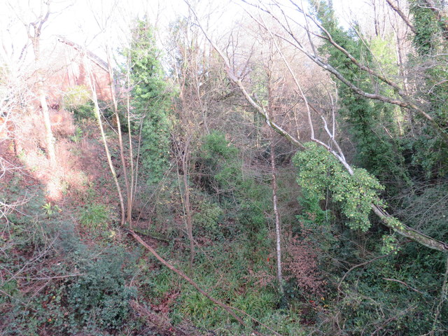
Image: © Malc McDonald Taken: 14 Dec 2019
This very overgrown site in East Grinstead was once a railway cutting. The railway had closed in the 1960s, five decades later it is barely recognisable as a former railway.
Images are licensed for reuse under creativecommons.org/licenses/by-sa/2.0
Image Location
Latitude
51.130768
Longitude
-0.017851