Ruscombe
Introduction
The photograph on this page of Ruscombe by Andrew Smith as part of the Geograph project.
The Geograph project started in 2005 with the aim of publishing, organising and preserving representative images for every square kilometre of Great Britain, Ireland and the Isle of Man.

There are currently over 7.5m images from over 14,400 individuals and you can help contribute to the project by visiting https://www.geograph.org.uk
Ruscombe
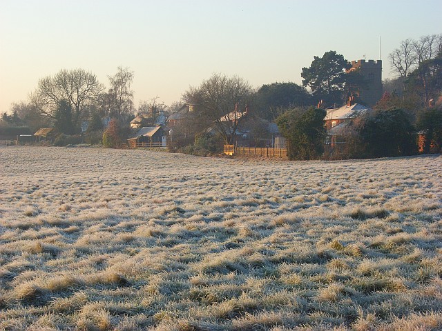
Image: © Andrew Smith Taken: 13 Dec 2007
Cottages on Church Lane and the tower of St James's church. This is the villagey part of Ruscombe which also includes a more suburban area to the east of Twyford.
Images are licensed for reuse under creativecommons.org/licenses/by-sa/2.0
Image Location
Latitude
51.480038
Longitude
-0.852265