Bridge over Stoneyheap Lane
Introduction
The photograph on this page of Bridge over Stoneyheap Lane by Robert Graham as part of the Geograph project.
The Geograph project started in 2005 with the aim of publishing, organising and preserving representative images for every square kilometre of Great Britain, Ireland and the Isle of Man.

There are currently over 7.5m images from over 14,400 individuals and you can help contribute to the project by visiting https://www.geograph.org.uk
Bridge over Stoneyheap Lane
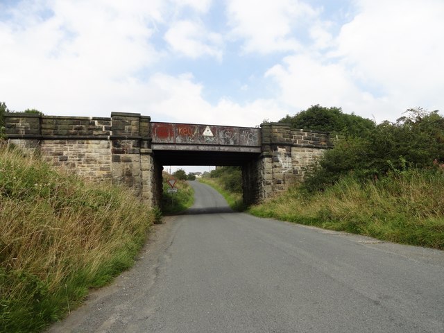
Image: © Robert Graham Taken: 26 Aug 2019
The bridge carries the old railway which is now the Consett and Sunderland Railway Path. The lane goes up to the junction with the A693 at East Castle.
Images are licensed for reuse under creativecommons.org/licenses/by-sa/2.0
Image Location
Latitude
54.862119
Longitude
-1.770804