Public Bridleway Leading to Rout Farm from Warninglid, West Sussex
Introduction
The photograph on this page of Public Bridleway Leading to Rout Farm from Warninglid, West Sussex by Pete Chapman as part of the Geograph project.
The Geograph project started in 2005 with the aim of publishing, organising and preserving representative images for every square kilometre of Great Britain, Ireland and the Isle of Man.

There are currently over 7.5m images from over 14,400 individuals and you can help contribute to the project by visiting https://www.geograph.org.uk
Public Bridleway Leading to Rout Farm from Warninglid, West Sussex
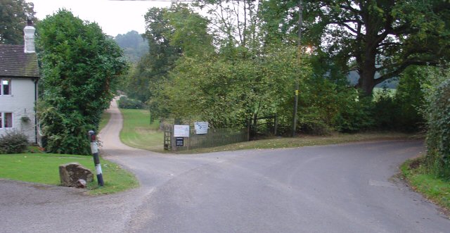
Image: © Pete Chapman Taken: 8 Oct 2005
The public bridleway follows a private drive leading straight ahead (due S) off the sharp right hand bend on this minor country road to Wineham. Photo taken from N side of the road bend (Warninglid direction), looking S.
Images are licensed for reuse under creativecommons.org/licenses/by-sa/2.0
Image Location


Leaflet Map data © OpenStreetMap
Latitude
51.016223
Longitude
-0.220773