Path to the canal off Bank Street, Brighouse
Introduction
The photograph on this page of Path to the canal off Bank Street, Brighouse by Humphrey Bolton as part of the Geograph project.
The Geograph project started in 2005 with the aim of publishing, organising and preserving representative images for every square kilometre of Great Britain, Ireland and the Isle of Man.

There are currently over 7.5m images from over 14,400 individuals and you can help contribute to the project by visiting https://www.geograph.org.uk
Path to the canal off Bank Street, Brighouse
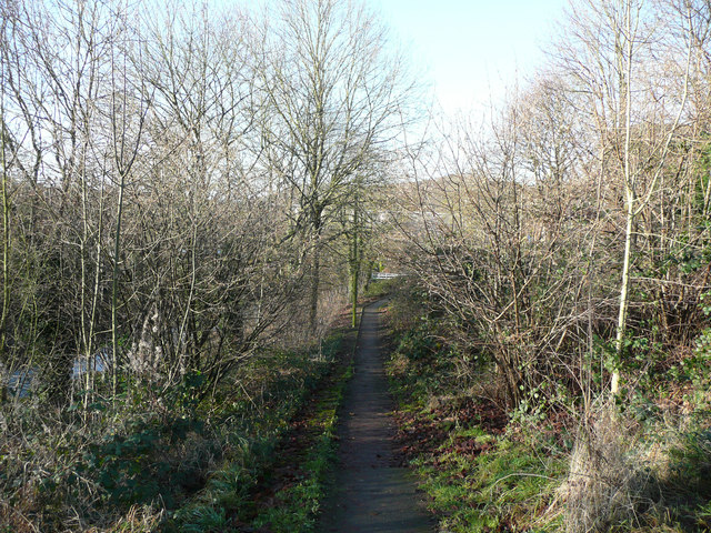
Image: © Humphrey Bolton Taken: 9 Dec 2019
This is a modern path, not on old maps. It is the cycling route from the towpath at Ganny Lock to the town centre.
Images are licensed for reuse under creativecommons.org/licenses/by-sa/2.0
Image Location
Latitude
53.702167
Longitude
-1.788506