OS Flush Bracket G1017 Auchnacloich Farm
Introduction
The photograph on this page of OS Flush Bracket G1017 Auchnacloich Farm by thejackrustles as part of the Geograph project.
The Geograph project started in 2005 with the aim of publishing, organising and preserving representative images for every square kilometre of Great Britain, Ireland and the Isle of Man.

There are currently over 7.5m images from over 14,400 individuals and you can help contribute to the project by visiting https://www.geograph.org.uk
OS Flush Bracket G1017 Auchnacloich Farm
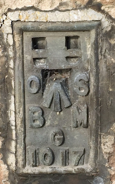
Image: © thejackrustles Taken: 12 Oct 2019
Flush Bracket OSBM G1017: Auchnacloich Visible from the roadside, entrance to Sawmill
Images are licensed for reuse under creativecommons.org/licenses/by-sa/2.0
Image Location
Latitude
57.583378
Longitude
-3.83603