Debdale Avenue, Lyppard-Woodgreen
Introduction
The photograph on this page of Debdale Avenue, Lyppard-Woodgreen by Chris Allen as part of the Geograph project.
The Geograph project started in 2005 with the aim of publishing, organising and preserving representative images for every square kilometre of Great Britain, Ireland and the Isle of Man.

There are currently over 7.5m images from over 14,400 individuals and you can help contribute to the project by visiting https://www.geograph.org.uk
Debdale Avenue, Lyppard-Woodgreen
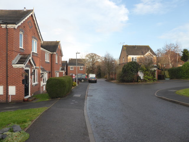
Image: © Chris Allen Taken: 15 Dec 2019
Debdale Avenue is the main spine road in Lyppard-Woodgreen but terminates in a T-shaped formation with both arms being cul-de-sacs. Lyppard-Woodgreen is a typical Warndon Village with a sinuous main road that ends in a cul-de-sac with further roads branching off that may interconnect within the village but do not provide vehicular access to any of the other villages. They do, however, interconnect on foot but it is very hit and miss. I spend quite a bit of time coming back down roads the same way I went up them. Also, when you cut through between villages you leave little bits to explore later.
Images are licensed for reuse under creativecommons.org/licenses/by-sa/2.0
Image Location
Latitude
52.20452
Longitude
-2.178915