Bishop Westall House, Good Shepherds Drive, Exeter
Introduction
The photograph on this page of Bishop Westall House, Good Shepherds Drive, Exeter by Stephen Richards as part of the Geograph project.
The Geograph project started in 2005 with the aim of publishing, organising and preserving representative images for every square kilometre of Great Britain, Ireland and the Isle of Man.

There are currently over 7.5m images from over 14,400 individuals and you can help contribute to the project by visiting https://www.geograph.org.uk
Bishop Westall House, Good Shepherds Drive, Exeter
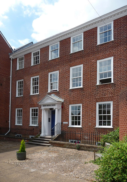
Image: © Stephen Richards Taken: 18 Jun 2014
One of two good Georgian houses surviving amid a 1980s housing development. This is probably mid C18th and has a fine porch (Image]). Grade II listed. Now part of a sheltered housing scheme run by the Guinness Partnership.
Images are licensed for reuse under creativecommons.org/licenses/by-sa/2.0
Image Location
Latitude
50.719404
Longitude
-3.527875