Former lane to Slead Sike Mill (Woollen), Brighouse
Introduction
The photograph on this page of Former lane to Slead Sike Mill (Woollen), Brighouse by Humphrey Bolton as part of the Geograph project.
The Geograph project started in 2005 with the aim of publishing, organising and preserving representative images for every square kilometre of Great Britain, Ireland and the Isle of Man.

There are currently over 7.5m images from over 14,400 individuals and you can help contribute to the project by visiting https://www.geograph.org.uk
Former lane to Slead Sike Mill (Woollen), Brighouse
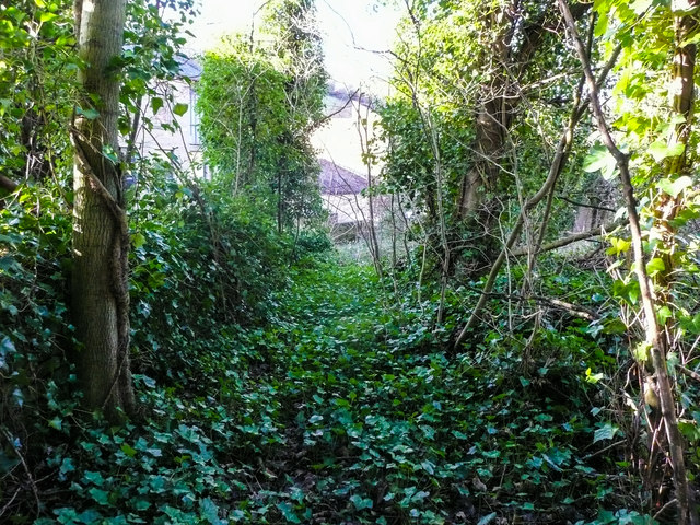
Image: © Humphrey Bolton Taken: 9 Dec 2019
The lane can still be followed but there is a wall across it before the present Springfield Works is reached. Presumably the ivy prevents the growth of brambles. The lane is still captioned 'Mill Hill Lane' on the large-scale OS map.
Images are licensed for reuse under creativecommons.org/licenses/by-sa/2.0
Image Location
Latitude
53.708473
Longitude
-1.79711