Benchmark on Clushgreen Bridge, Springfield
Introduction
The photograph on this page of Benchmark on Clushgreen Bridge, Springfield by Becky Williamson as part of the Geograph project.
The Geograph project started in 2005 with the aim of publishing, organising and preserving representative images for every square kilometre of Great Britain, Ireland and the Isle of Man.

There are currently over 7.5m images from over 14,400 individuals and you can help contribute to the project by visiting https://www.geograph.org.uk
Benchmark on Clushgreen Bridge, Springfield
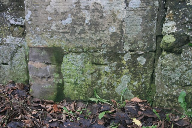
Image: © Becky Williamson Taken: 17 Dec 2019
Spanning the River Eden east of Springfield, this bridge has an Ordnance Survey benchmark on it. This is described on the benchmark database at https://www.bench-marks.org.uk/bm114171. See also Image
Images are licensed for reuse under creativecommons.org/licenses/by-sa/2.0
Image Location
Latitude
56.294445
Longitude
-3.050656