High Street Fortrose
Introduction
The photograph on this page of High Street Fortrose by valenta as part of the Geograph project.
The Geograph project started in 2005 with the aim of publishing, organising and preserving representative images for every square kilometre of Great Britain, Ireland and the Isle of Man.

There are currently over 7.5m images from over 14,400 individuals and you can help contribute to the project by visiting https://www.geograph.org.uk
High Street Fortrose
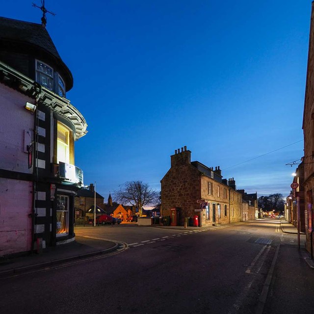
Image: © valenta Taken: 30 Nov 2019
Looking west along the A832 High Street with the junction of Union Street, the corner of the Anderson Hotel on the left of the image
Images are licensed for reuse under creativecommons.org/licenses/by-sa/2.0
Image Location
Latitude
57.581623
Longitude
-4.130839