A165 Brandesburton Roundabout
Introduction
The photograph on this page of A165 Brandesburton Roundabout by Stephen Horncastle as part of the Geograph project.
The Geograph project started in 2005 with the aim of publishing, organising and preserving representative images for every square kilometre of Great Britain, Ireland and the Isle of Man.

There are currently over 7.5m images from over 14,400 individuals and you can help contribute to the project by visiting https://www.geograph.org.uk
A165 Brandesburton Roundabout
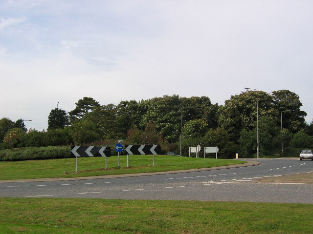
Image: © Stephen Horncastle Taken: 9 Oct 2005
The A165 runs NS along the west edge of the grid square. The majority of Brandesburton is in the adjacent square west.
Images are licensed for reuse under creativecommons.org/licenses/by-sa/2.0
Image Location


Leaflet Map data © OpenStreetMap
Latitude
53.911952
Longitude
-0.294004