View SE from Knitsley Lane
Introduction
The photograph on this page of View SE from Knitsley Lane by Robert Graham as part of the Geograph project.
The Geograph project started in 2005 with the aim of publishing, organising and preserving representative images for every square kilometre of Great Britain, Ireland and the Isle of Man.

There are currently over 7.5m images from over 14,400 individuals and you can help contribute to the project by visiting https://www.geograph.org.uk
View SE from Knitsley Lane
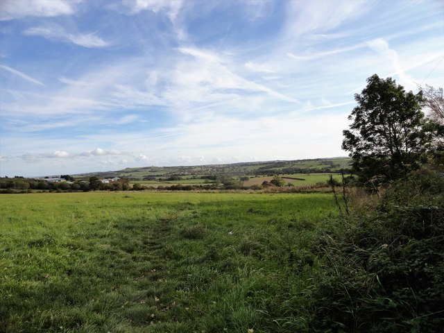
Image: © Robert Graham Taken: 11 Oct 2019
Looking down the valley towards Lanchester. The landmark of Humber Hill can be seen left of centre on the horizon.
Images are licensed for reuse under creativecommons.org/licenses/by-sa/2.0
Image Location
Latitude
54.839477
Longitude
-1.827452