The former Lower George Inn, Jumble Dyke. Rastrick
Introduction
The photograph on this page of The former Lower George Inn, Jumble Dyke. Rastrick by Humphrey Bolton as part of the Geograph project.
The Geograph project started in 2005 with the aim of publishing, organising and preserving representative images for every square kilometre of Great Britain, Ireland and the Isle of Man.

There are currently over 7.5m images from over 14,400 individuals and you can help contribute to the project by visiting https://www.geograph.org.uk
The former Lower George Inn, Jumble Dyke. Rastrick
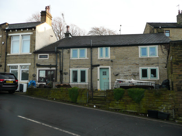
Image: © Humphrey Bolton Taken: 17 Dec 2019
This is captioned P.H. on the 1893 and 1918 1:2500 maps. It closed in 1926. It is aligned with Raw Hill, which is no longer a street, rather than with Jumble Dyke.
Images are licensed for reuse under creativecommons.org/licenses/by-sa/2.0
Image Location
Latitude
53.690579
Longitude
-1.792653