The Cockpit, Dore
Introduction
The photograph on this page of The Cockpit, Dore by Neil Theasby as part of the Geograph project.
The Geograph project started in 2005 with the aim of publishing, organising and preserving representative images for every square kilometre of Great Britain, Ireland and the Isle of Man.

There are currently over 7.5m images from over 14,400 individuals and you can help contribute to the project by visiting https://www.geograph.org.uk
The Cockpit, Dore
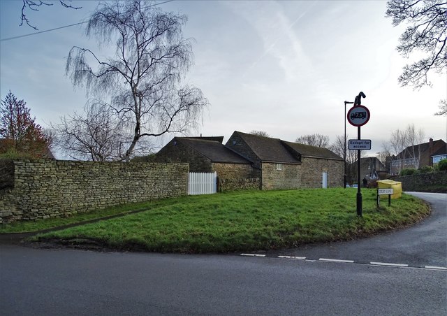
Image: © Neil Theasby Taken: 16 Dec 2019
This may look like a small village green but it was in fact the village's cock fighting arena in past times. That is explained on a nearby plaque put up by The Dore History Society.
Images are licensed for reuse under creativecommons.org/licenses/by-sa/2.0
Image Location
Latitude
53.325856
Longitude
-1.543544