Invergordon railway station
Introduction
The photograph on this page of Invergordon railway station by Richard Dorrell as part of the Geograph project.
The Geograph project started in 2005 with the aim of publishing, organising and preserving representative images for every square kilometre of Great Britain, Ireland and the Isle of Man.

There are currently over 7.5m images from over 14,400 individuals and you can help contribute to the project by visiting https://www.geograph.org.uk
Invergordon railway station
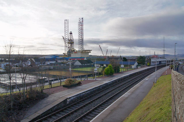
Image: © Richard Dorrell Taken: 15 Dec 2019
The station originally opened here in 1874. The tall structure in the background is an oil rig, moored at Cromarty Firth quay.
Images are licensed for reuse under creativecommons.org/licenses/by-sa/2.0
Image Location
Latitude
57.689069
Longitude
-4.173887