Ginnel between Thorn Lane and Thorn Drive
Introduction
The photograph on this page of Ginnel between Thorn Lane and Thorn Drive by habiloid as part of the Geograph project.
The Geograph project started in 2005 with the aim of publishing, organising and preserving representative images for every square kilometre of Great Britain, Ireland and the Isle of Man.

There are currently over 7.5m images from over 14,400 individuals and you can help contribute to the project by visiting https://www.geograph.org.uk
Ginnel between Thorn Lane and Thorn Drive
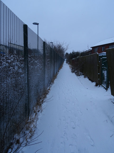
Image: © habiloid Taken: 28 Feb 2018
This ginnel, seen here on a snowy morning, runs alongside Chellow Heights School (behind the fence on the left).
Images are licensed for reuse under creativecommons.org/licenses/by-sa/2.0
Image Location
Latitude
53.81707
Longitude
-1.810257