Milford Junction
Introduction
The photograph on this page of Milford Junction by Alan Murray-Rust as part of the Geograph project.
The Geograph project started in 2005 with the aim of publishing, organising and preserving representative images for every square kilometre of Great Britain, Ireland and the Isle of Man.

There are currently over 7.5m images from over 14,400 individuals and you can help contribute to the project by visiting https://www.geograph.org.uk
Milford Junction
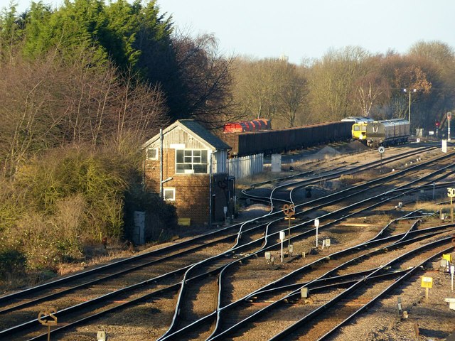
Image: © Alan Murray-Rust Taken: 9 Dec 2019
Telephoto view from Lumby Lane Bridge showing the signal box and the sidings. The latter were formerly a wagon repair site when there was still extensive coal traffic in the area.
Images are licensed for reuse under creativecommons.org/licenses/by-sa/2.0
Image Location
Latitude
53.767798
Longitude
-1.238833