River Trent and Island House
Introduction
The photograph on this page of River Trent and Island House by David Brown as part of the Geograph project.
The Geograph project started in 2005 with the aim of publishing, organising and preserving representative images for every square kilometre of Great Britain, Ireland and the Isle of Man.

There are currently over 7.5m images from over 14,400 individuals and you can help contribute to the project by visiting https://www.geograph.org.uk
River Trent and Island House
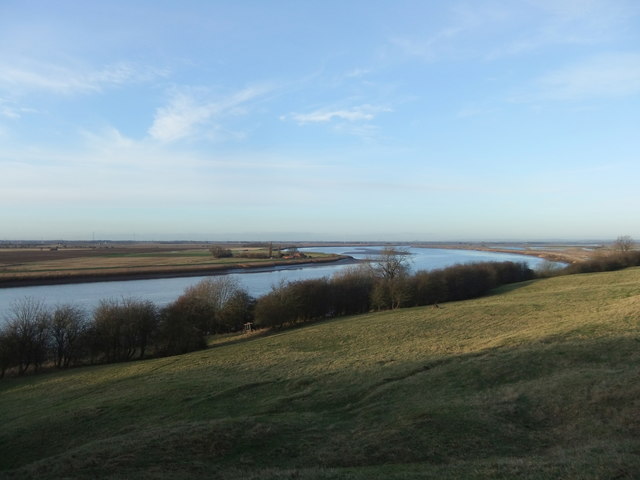
Image: © David Brown Taken: 16 Dec 2019
Beyond is the Island and Trent Falls. The river at low tide is narrow and very shallow, navigable only in a boat with a very shallow draught.
Images are licensed for reuse under creativecommons.org/licenses/by-sa/2.0
Image Location
Latitude
53.674878
Longitude
-0.689931