RAF West Raynham airfield memorial
Introduction
The photograph on this page of RAF West Raynham airfield memorial by Adrian S Pye as part of the Geograph project.
The Geograph project started in 2005 with the aim of publishing, organising and preserving representative images for every square kilometre of Great Britain, Ireland and the Isle of Man.

There are currently over 7.5m images from over 14,400 individuals and you can help contribute to the project by visiting https://www.geograph.org.uk
RAF West Raynham airfield memorial
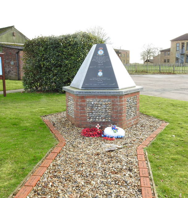
Image: © Adrian S Pye Taken: 15 Dec 2019
Built between 1938 and 1939, RAF West Raynham was an expansion scheme airfield. The grass landing area was aligned roughly north-east to south-west. The main camp, with housing and headquarters, was located immediately west of the landing area. From 1945 to 1962, RAF West Raynham was Central Fighter Establishment of the Royal Air Force. In 1964, the East side of the airfield was developed as a SAM site, equipped with the Bristol Bloodhound Mk2 and its associated radars. In 1994, RAF West Raynham was shut down by the Ministry of Defence. See https://www.geograph.org.uk/article/RAF-West-Raynham for the full story
Images are licensed for reuse under creativecommons.org/licenses/by-sa/2.0
Image Location
Latitude
52.792223
Longitude
0.73643