Limestone Link near Monkswood
Introduction
The photograph on this page of Limestone Link near Monkswood by Derek Harper as part of the Geograph project.
The Geograph project started in 2005 with the aim of publishing, organising and preserving representative images for every square kilometre of Great Britain, Ireland and the Isle of Man.

There are currently over 7.5m images from over 14,400 individuals and you can help contribute to the project by visiting https://www.geograph.org.uk
Limestone Link near Monkswood
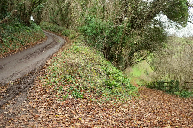
Image: © Derek Harper Taken: 7 Dec 2019
The trail is on the right, following footpath LCA 31/50 after using Leigh Lane (left) for a mere 20 metres or so.
Images are licensed for reuse under creativecommons.org/licenses/by-sa/2.0
Image Location
Latitude
51.439911
Longitude
-2.34654