Farmland near Glasgow Airport from the air
Introduction
The photograph on this page of Farmland near Glasgow Airport from the air by Thomas Nugent as part of the Geograph project.
The Geograph project started in 2005 with the aim of publishing, organising and preserving representative images for every square kilometre of Great Britain, Ireland and the Isle of Man.

There are currently over 7.5m images from over 14,400 individuals and you can help contribute to the project by visiting https://www.geograph.org.uk
Farmland near Glasgow Airport from the air
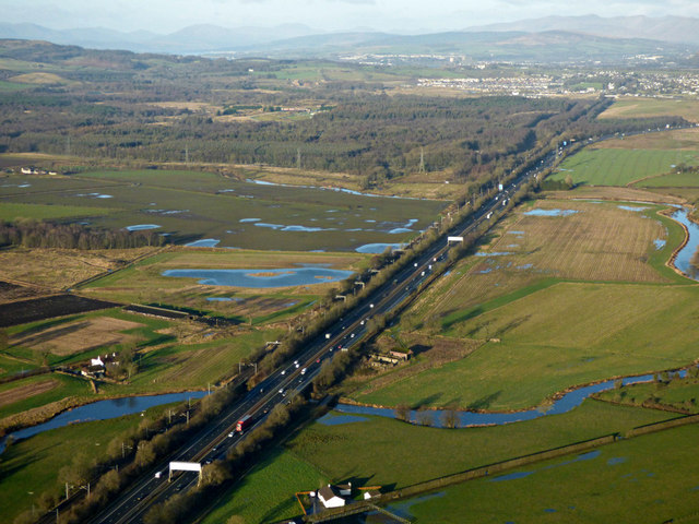
Image: © Thomas Nugent Taken: 9 Dec 2019
Black Cart Water is in the foreground, the River Gryffe can be seen on the right. Bishopton is in the distance. The M8 motorway and the Glasgow to Gourock & Wemyss Bay railway line are prominent. Lots of standing water can be seen in the fields.
Images are licensed for reuse under creativecommons.org/licenses/by-sa/2.0
Image Location
Latitude
55.864984
Longitude
-4.459713