Lord's Heath, Lyppard-Woodgreen
Introduction
The photograph on this page of Lord's Heath, Lyppard-Woodgreen by Chris Allen as part of the Geograph project.
The Geograph project started in 2005 with the aim of publishing, organising and preserving representative images for every square kilometre of Great Britain, Ireland and the Isle of Man.

There are currently over 7.5m images from over 14,400 individuals and you can help contribute to the project by visiting https://www.geograph.org.uk
Lord's Heath, Lyppard-Woodgreen
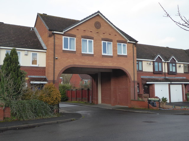
Image: © Chris Allen Taken: 15 Dec 2019
This named street is through this archway off Debdale Avenue. Warndon Villages seem never-ending and the number of different meaningful views seems a fairly large number also, without resorting to individual houses, which I would think overly intrusive.
Images are licensed for reuse under creativecommons.org/licenses/by-sa/2.0
Image Location
Latitude
52.205152
Longitude
-2.177308