Ordnance Survey cut mark
Introduction
The photograph on this page of Ordnance Survey cut mark by Norman Caesar as part of the Geograph project.
The Geograph project started in 2005 with the aim of publishing, organising and preserving representative images for every square kilometre of Great Britain, Ireland and the Isle of Man.

There are currently over 7.5m images from over 14,400 individuals and you can help contribute to the project by visiting https://www.geograph.org.uk
Ordnance Survey cut mark
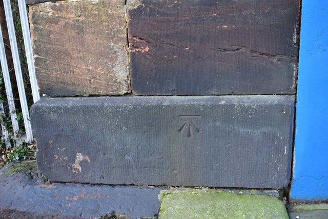
Image: © Norman Caesar Taken: 15 Dec 2019
This cut mark is on the railway bridge at Five Lamps War Memorial
Images are licensed for reuse under creativecommons.org/licenses/by-sa/2.0
Image Location
Latitude
53.473095
Longitude
-3.021875