By Toghill Picnic Area
Introduction
The photograph on this page of By Toghill Picnic Area by Derek Harper as part of the Geograph project.
The Geograph project started in 2005 with the aim of publishing, organising and preserving representative images for every square kilometre of Great Britain, Ireland and the Isle of Man.

There are currently over 7.5m images from over 14,400 individuals and you can help contribute to the project by visiting https://www.geograph.org.uk
By Toghill Picnic Area
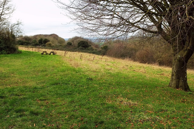
Image: © Derek Harper Taken: 7 Dec 2019
Not much of a picnic area, you may be thinking, looking at the vestiges of a picnic table, but then I discovered some more complete tables around to the left. The wood on the right is Toghill Grove.
Images are licensed for reuse under creativecommons.org/licenses/by-sa/2.0
Image Location


Leaflet Map data © OpenStreetMap
Latitude
51.452914
Longitude
-2.386359