Doddinghurst church
Introduction
The photograph on this page of Doddinghurst church by Robin Webster as part of the Geograph project.
The Geograph project started in 2005 with the aim of publishing, organising and preserving representative images for every square kilometre of Great Britain, Ireland and the Isle of Man.

There are currently over 7.5m images from over 14,400 individuals and you can help contribute to the project by visiting https://www.geograph.org.uk
Doddinghurst church
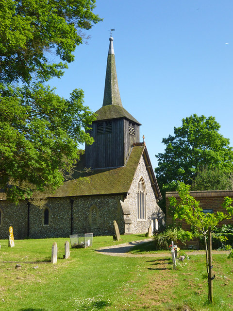
Image: © Robin Webster Taken: 26 May 2012
All Saints is a grade I listed building. The belfry tower 'of the Essex type' is considered to be, from constructional features, of a date after the 13th century.
Images are licensed for reuse under creativecommons.org/licenses/by-sa/2.0
Image Location
Latitude
51.667308
Longitude
0.296448