Road at Dunshillock approaching Balring Farm
Introduction
The photograph on this page of Road at Dunshillock approaching Balring Farm by Peter Wood as part of the Geograph project.
The Geograph project started in 2005 with the aim of publishing, organising and preserving representative images for every square kilometre of Great Britain, Ireland and the Isle of Man.

There are currently over 7.5m images from over 14,400 individuals and you can help contribute to the project by visiting https://www.geograph.org.uk
Road at Dunshillock approaching Balring Farm
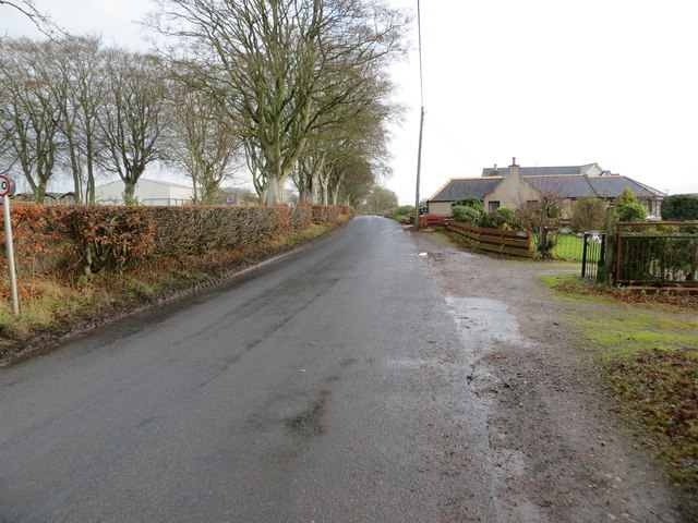
Image: © Peter Wood Taken: 22 Nov 2019
Looking north-eastward.
Images are licensed for reuse under creativecommons.org/licenses/by-sa/2.0
Image Location
Latitude
57.529198
Longitude
-2.019907