Thornbury Hill, Alveston
Introduction
The photograph on this page of Thornbury Hill, Alveston by habiloid as part of the Geograph project.
The Geograph project started in 2005 with the aim of publishing, organising and preserving representative images for every square kilometre of Great Britain, Ireland and the Isle of Man.

There are currently over 7.5m images from over 14,400 individuals and you can help contribute to the project by visiting https://www.geograph.org.uk
Thornbury Hill, Alveston
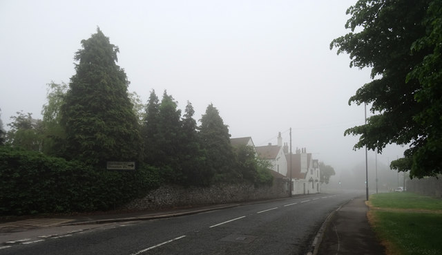
Image: © habiloid Taken: 26 May 2018
The B4061 passing through Alveston. The Ship Inn can be seen through the fog in the distance.
Images are licensed for reuse under creativecommons.org/licenses/by-sa/2.0
Image Location
Latitude
51.592807
Longitude
-2.528437