Whiteside Bank
Introduction
The photograph on this page of Whiteside Bank by Oliver Dixon as part of the Geograph project.
The Geograph project started in 2005 with the aim of publishing, organising and preserving representative images for every square kilometre of Great Britain, Ireland and the Isle of Man.

There are currently over 7.5m images from over 14,400 individuals and you can help contribute to the project by visiting https://www.geograph.org.uk
Whiteside Bank
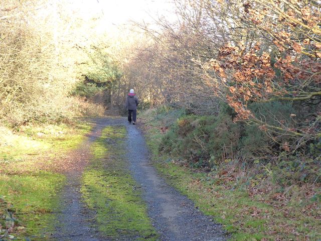
Image: © Oliver Dixon Taken: 9 Dec 2019
Whiteside Bank was at one time the route by which the A68 descended into Tynedale from the south. This road was abandoned at least 30 years ago.
Images are licensed for reuse under creativecommons.org/licenses/by-sa/2.0
Image Location
Latitude
54.940422
Longitude
-1.970312