Barony Church, Dysart
Introduction
The photograph on this page of Barony Church, Dysart by Becky Williamson as part of the Geograph project.
The Geograph project started in 2005 with the aim of publishing, organising and preserving representative images for every square kilometre of Great Britain, Ireland and the Isle of Man.

There are currently over 7.5m images from over 14,400 individuals and you can help contribute to the project by visiting https://www.geograph.org.uk
Barony Church, Dysart
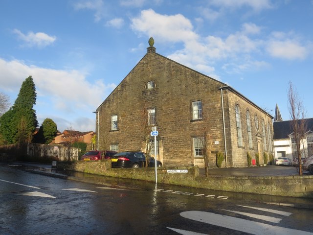
Image: © Becky Williamson Taken: 8 Dec 2019
Now a block of residential flats, this was once Barony Church and there is an old graveyard at the back with many toppled and broken graves. There is an Ordnance Survey benchmark on this building. See Image
Images are licensed for reuse under creativecommons.org/licenses/by-sa/2.0
Image Location
Latitude
56.127214
Longitude
-3.124437