A162 near Monk Fryston, with milestone
Introduction
The photograph on this page of A162 near Monk Fryston, with milestone by Alan Murray-Rust as part of the Geograph project.
The Geograph project started in 2005 with the aim of publishing, organising and preserving representative images for every square kilometre of Great Britain, Ireland and the Isle of Man.

There are currently over 7.5m images from over 14,400 individuals and you can help contribute to the project by visiting https://www.geograph.org.uk
A162 near Monk Fryston, with milestone
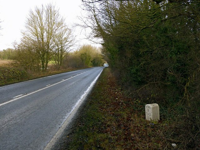
Image: © Alan Murray-Rust Taken: 8 Dec 2019
The milestone is Listed Grade II and can be seen close up here http://www.geograph.org.uk/photo/6341882
Images are licensed for reuse under creativecommons.org/licenses/by-sa/2.0
Image Location
Latitude
53.756739
Longitude
-1.252532