Rotten Row, Earlsferry
Introduction
The photograph on this page of Rotten Row, Earlsferry by Bill Kasman as part of the Geograph project.
The Geograph project started in 2005 with the aim of publishing, organising and preserving representative images for every square kilometre of Great Britain, Ireland and the Isle of Man.

There are currently over 7.5m images from over 14,400 individuals and you can help contribute to the project by visiting https://www.geograph.org.uk
Rotten Row, Earlsferry
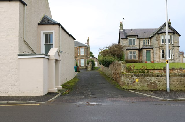
Image: © Bill Kasman Taken: 6 Dec 2019
Off Williamsburgh this is one end of the crescent road of Rotten Row. See Elie and Earlsferry article https://www.geograph.org.uk/article/Elie-and-Earlsferry
Images are licensed for reuse under creativecommons.org/licenses/by-sa/2.0
Image Location
Latitude
56.19
Longitude
-2.831719