Aysgarth House, Tunwell Lane, Eccleshill
Introduction
The photograph on this page of Aysgarth House, Tunwell Lane, Eccleshill by Stephen Craven as part of the Geograph project.
The Geograph project started in 2005 with the aim of publishing, organising and preserving representative images for every square kilometre of Great Britain, Ireland and the Isle of Man.

There are currently over 7.5m images from over 14,400 individuals and you can help contribute to the project by visiting https://www.geograph.org.uk
Aysgarth House, Tunwell Lane, Eccleshill
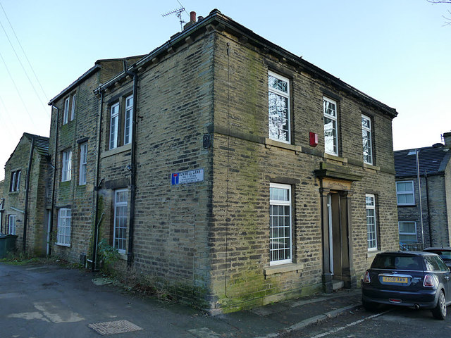
Image: © Stephen Craven Taken: 30 Nov 2019
According to a local history leaflet, the lane dates back to 1618 and was so named because it was close to the “town well”.
Images are licensed for reuse under creativecommons.org/licenses/by-sa/2.0
Image Location
Latitude
53.819156
Longitude
-1.726857