Upper end of Boundary Lane
Introduction
The photograph on this page of Upper end of Boundary Lane by Robert Graham as part of the Geograph project.
The Geograph project started in 2005 with the aim of publishing, organising and preserving representative images for every square kilometre of Great Britain, Ireland and the Isle of Man.

There are currently over 7.5m images from over 14,400 individuals and you can help contribute to the project by visiting https://www.geograph.org.uk
Upper end of Boundary Lane
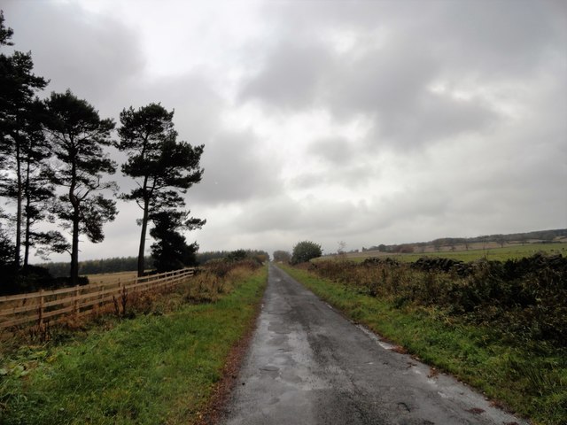
Image: © Robert Graham Taken: 4 Nov 2019
Looking west towards the top end of the lane. Of particular notice here is the fact that the hedges which line the lane further down, change to drystone walls along this upper section.
Images are licensed for reuse under creativecommons.org/licenses/by-sa/2.0
Image Location
Latitude
54.892929
Longitude
-1.89099