B3315 leaving Tunley
Introduction
The photograph on this page of B3315 leaving Tunley by Derek Harper as part of the Geograph project.
The Geograph project started in 2005 with the aim of publishing, organising and preserving representative images for every square kilometre of Great Britain, Ireland and the Isle of Man.

There are currently over 7.5m images from over 14,400 individuals and you can help contribute to the project by visiting https://www.geograph.org.uk
B3315 leaving Tunley
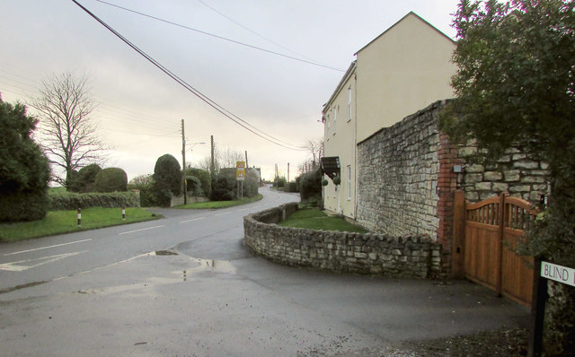
Image: © Derek Harper Taken: 6 Dec 2019
On a grey wet December afternoon. This is at the junction with Blind lane (right) followed by bridleway BA 10/4. On the right is Colliery House, emphasising the importance of coal-mining in this area until 1973.
Images are licensed for reuse under creativecommons.org/licenses/by-sa/2.0
Image Location
Latitude
51.332492
Longitude
-2.443765