B3026 Lake End Road crosses the Jubilee River
Introduction
The photograph on this page of B3026 Lake End Road crosses the Jubilee River by Robin Webster as part of the Geograph project.
The Geograph project started in 2005 with the aim of publishing, organising and preserving representative images for every square kilometre of Great Britain, Ireland and the Isle of Man.

There are currently over 7.5m images from over 14,400 individuals and you can help contribute to the project by visiting https://www.geograph.org.uk
B3026 Lake End Road crosses the Jubilee River
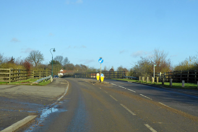
Image: © Robin Webster Taken: 8 Dec 2019
The Jubilee River is a very long and large Thames flood relief channel, completed in 2002.
Images are licensed for reuse under creativecommons.org/licenses/by-sa/2.0
Image Location
Latitude
51.507262
Longitude
-0.663397